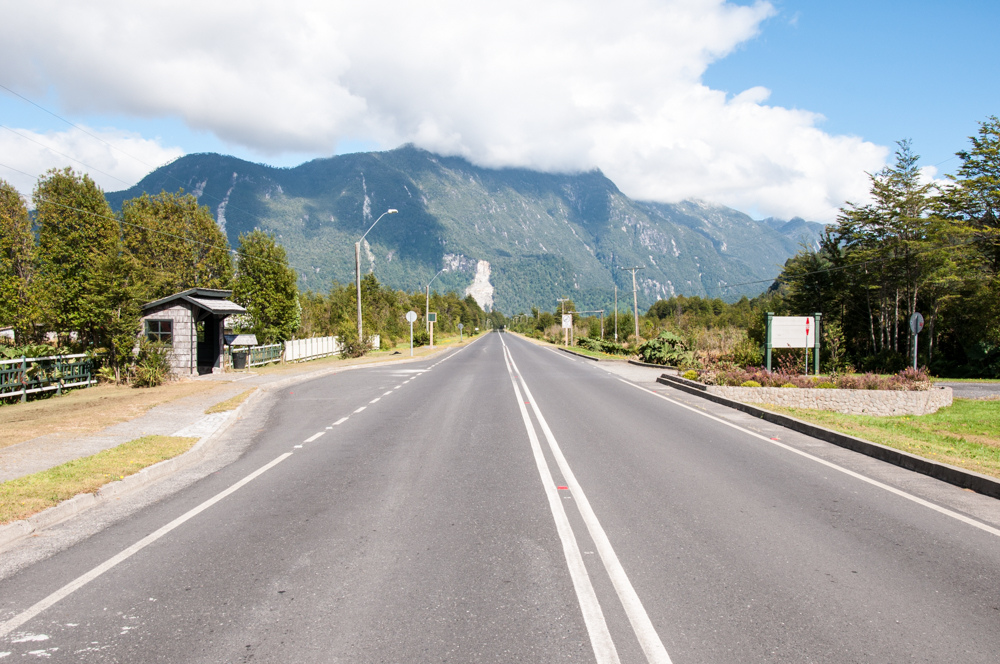
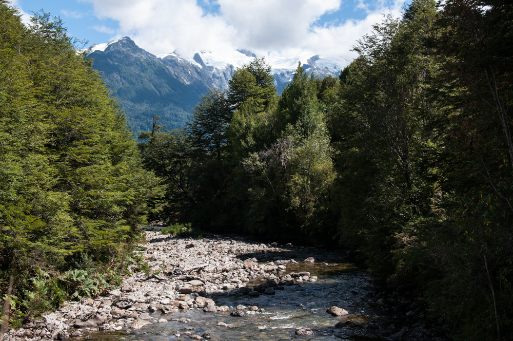
The Carretera Austral, also known as Chile’s Southern Highway is a 1240km long route that winds along through virgin prehistoric forests, torrential rivers, glaciers, and snow capped peaks! Argentina’s Ruta 40 or Route 40 is a long and almost straight road that runs the length of the country and ends in Patagonia where the inhabited world ends. Driving along these roads is the best way to explore both North and South Patagonia. This is a report from our trip and a guide for all those who are looking to explore this isolated part of our world.
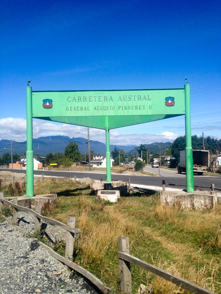
There is incredible beauty all around but also incredible hardship endured by the people that live in this remote region of our planet. The terrain is tough and the roads are yet to be completed. Road construction in this region of Chile began in the 1970s at the behest of General Pinochet, Chile’s then ruling dictator, who wanted to connect the remote regions in Chile’s deep South. A large part of this region breaks off into thousands of tiny islands separated by water and mountains. On the other side of the high Andes lies Argentina. By comparison, Ruta 40 is a much simpler project. This region of Chile is better connected to Argentina than to Santiago, the seat of power in the Central Valley. Hence, for both strategic and economic reasons, Pinochet wanted to build highways to bring prosperity and control to the communities of the far south.
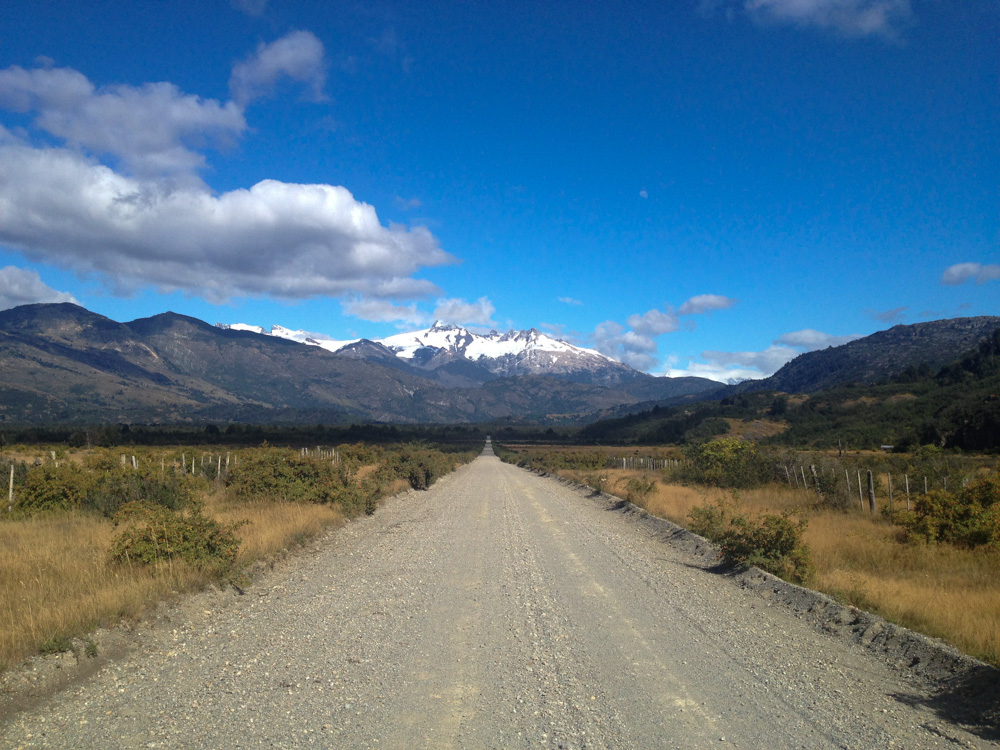
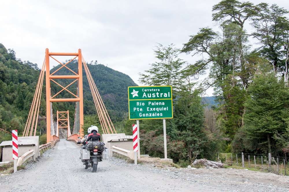
Although the Carretera Austral was mostly complete and opened in 1988, a lot of it is still made up of dirt tracks. The remoteness, cost, challenging weather conditions in this region, and the difficulty in bringing in heavy construction equipment paired with a very short summer season have made it all the more difficult to pave several sections of the southern highway.
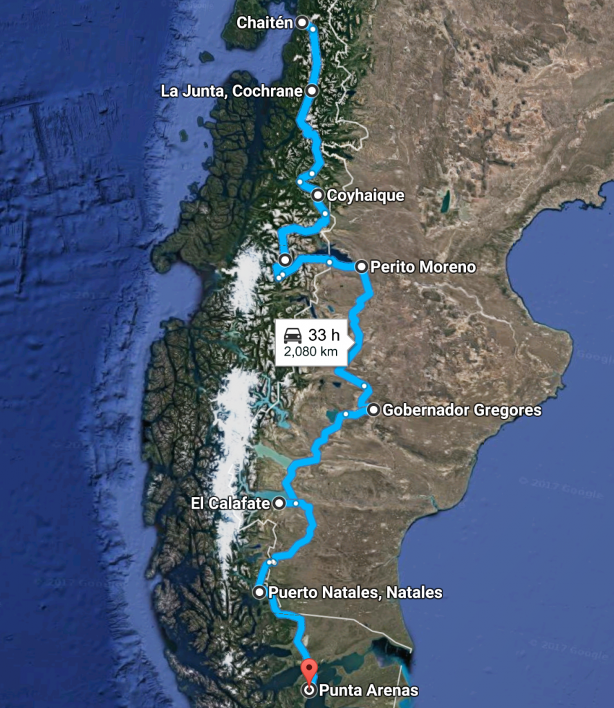
We drove through this stretch of highway on our road trip from Santiago to Punta Arenas. Using a combination of the Carretera Austral and Argentina’s famous Ruta 40 the total journey clocked in at a little over 5500km since we visited many worthwhile places in Argentina and Chile along the way.
If you want to see nature at its most raw and powerful, this is a journey you must take! It won’t be cheap, it won’t be easy, but the Carretera Austral takes you through fjords, glaciers, jagged mountain peaks, canals, forests, and more! You’ll cross some of the most ancient forests that still exist untouched, see the North and South glacial ice fields. These are some of the last giant reserves of fresh water on our planet. You’ll also see the effect that humans have on the local ecology through cattle rearing and other occupations. You’ll cross several national parks including a private park created by the Late Douglas Tompkins, an American billionaire who happened to die in the same region doing the things he loved (kayaking in a freezing glacial lake). You’ll even get to see first hand where many Nazis fleeing persecution after World War II ended up. What better place to hide than the deep South of South America?
The Car
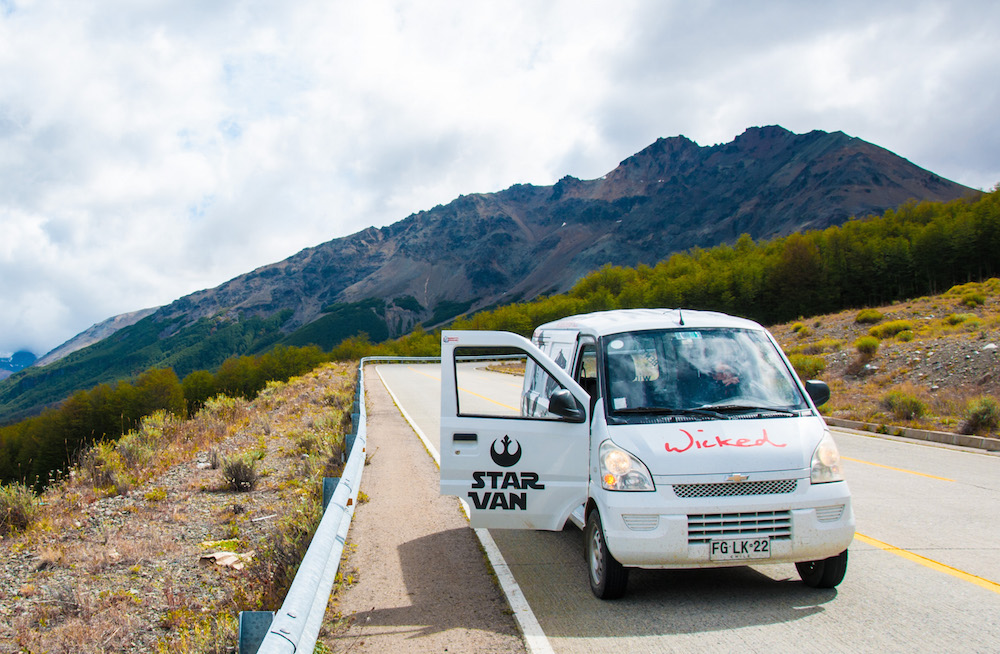
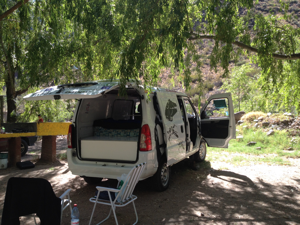
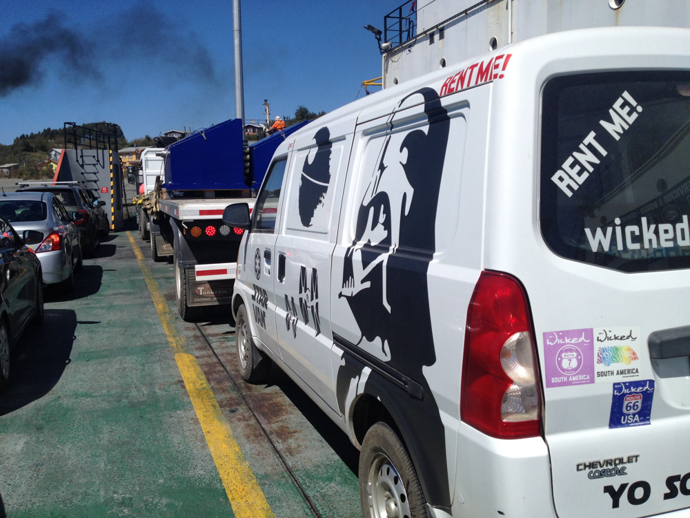
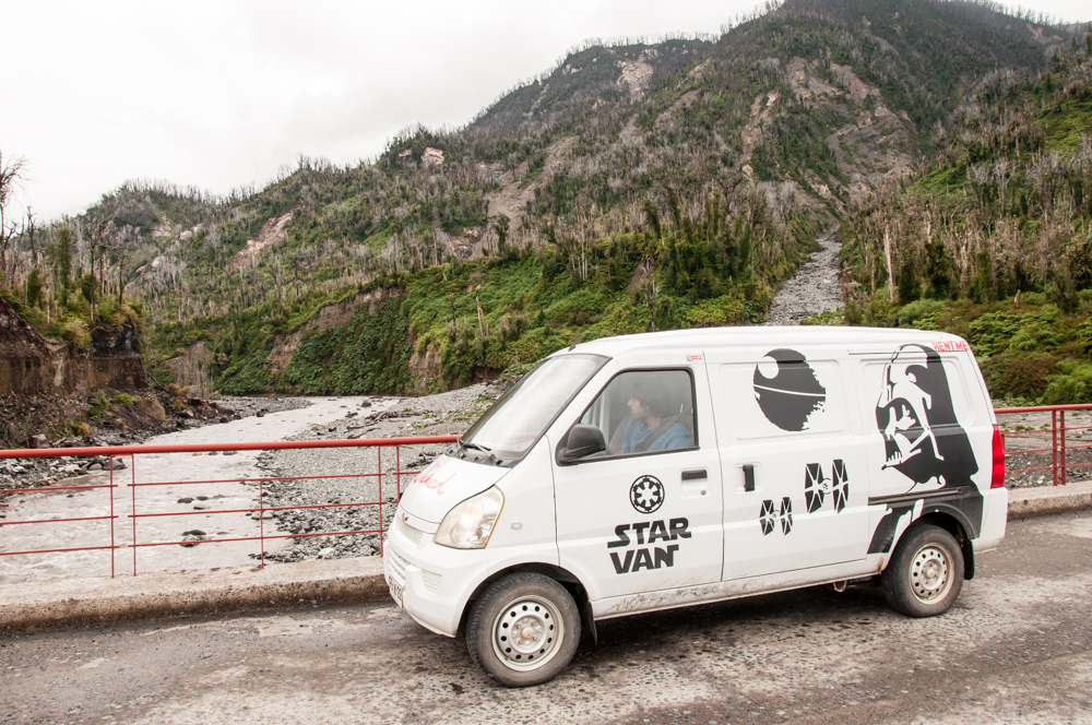
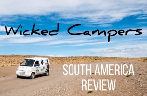
We rented a camper van from Wicked Campers. I don’t recommend going with this company. The car wasn’t in great condition, wasn’t really very clean, and it was still fairly expensive. Our van didn’t have any power steering even though the description said it would. This was a huge letdown because we were going to be driving in difficult terrain.
The car wasn’t ready when we wanted to take it and our pickup was delayed by about 2 hours. This meant that we drove the second section of our first day in darkness, not a good way to enjoy the views. However, what sealed the deal for us was the cheaper one way rental fee all the way from Santiago to Punta Arenas.
This is a huge issue with one way car rentals when you head down to the deep South of Patagonia. A lot of car rental companies will charge you USD 2000 as a “one way rental fee”. That’s insane! Wicked Campers had a more reasonable USD 500 fee. The reason for the high cost is because this is a big deal for them as they either have to find someone who wants to drive the opposite way or they have to load the car up onto a ship and ship it back to Santiago. There are very few truck services that will do the drop off for you. You could pay for a truck service to do this for you if you don’t want to pay the one way fee but then you would still be paying for the rental cost for the days that it’s getting shipped. There’s no easy way to get around this.
Of course, your choices can vary. If you want to avoid paying high one way fees, you could do a return loop of the Carretera Austral from Puerto Montt. Alternately, you could start from Coyhaique (fly there from Puerto Montt), do a loop over the Northern section of the highway and then another loop over the Southern section. So, you pick up the car from Coyhaique and return it there.
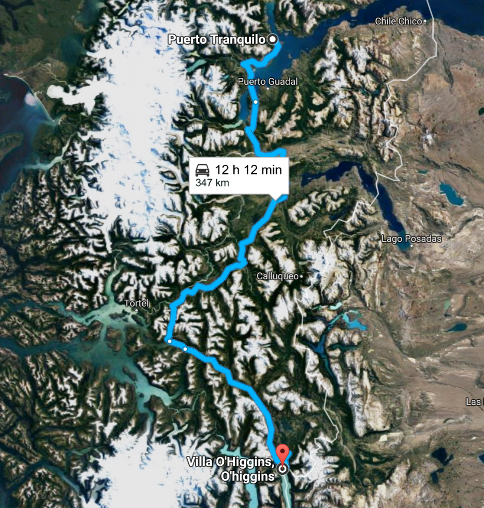
Once you reach the Southern end of the highway (Villa O’Higgins) you’ve really reached the end. You cannot cross further as there are glaciers blocking the way. So you have to drive back North and cross into Argentina if you wish to proceed further South.
Do I need a 4×4?
It’s not strictly necessary. We did the route in a camper van and it was doable. But it was definitely VERY UNCOMFORTABLE. Driving on gravel roads for hours with poor suspension is not my idea of a good time.
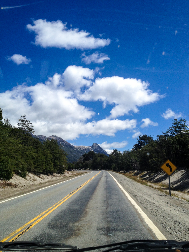
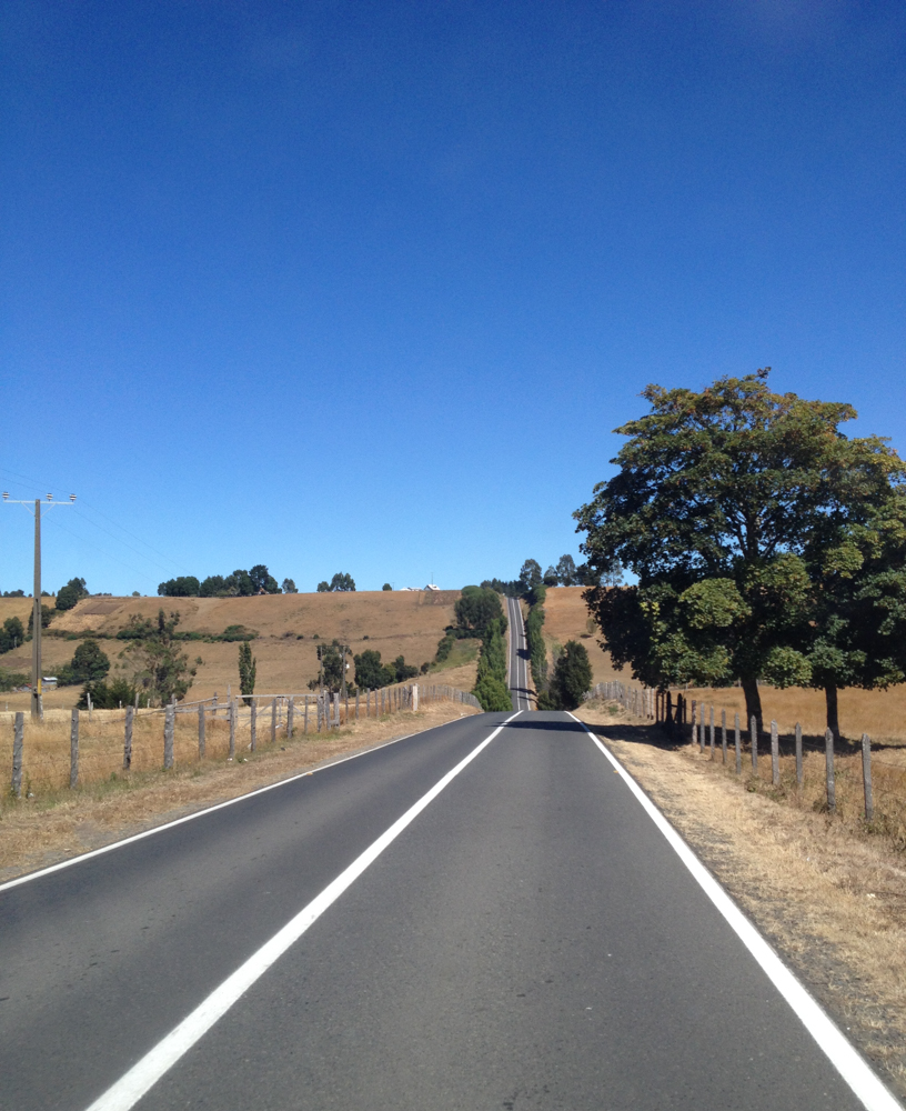
A lot of guides say that you don’t need a 4×4 and that is true. However, comfort matters a lot. You won’t appreciate a beautiful glacier the same way if you feel rattled to your bones. Although we enjoyed ourselves greatly, we did look forward to the signs that informed us we were in for a treat – “You are entering 52km of paved road”!
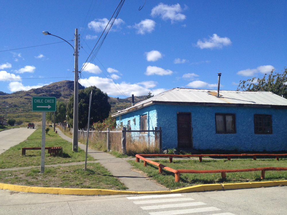
I would definitely recommend a 4×4 if you want to enjoy the trip and feel safe at the same time. There was a moment while crossing into Argentina near Chile Chico that our car almost swerved off the road because the wheels lost their grip going down a particularly steep and loose slope.
If you have the cash, please pay for a 4×4. You’ll appreciate the journey so much more!
Maps
This is one part of the world where Google Maps isn’t going to help you much! The roads in this region are changing every single year and lots of them aren’t on official maps. What you need is an up to date map that will help you understand where you can go and what you can do there.
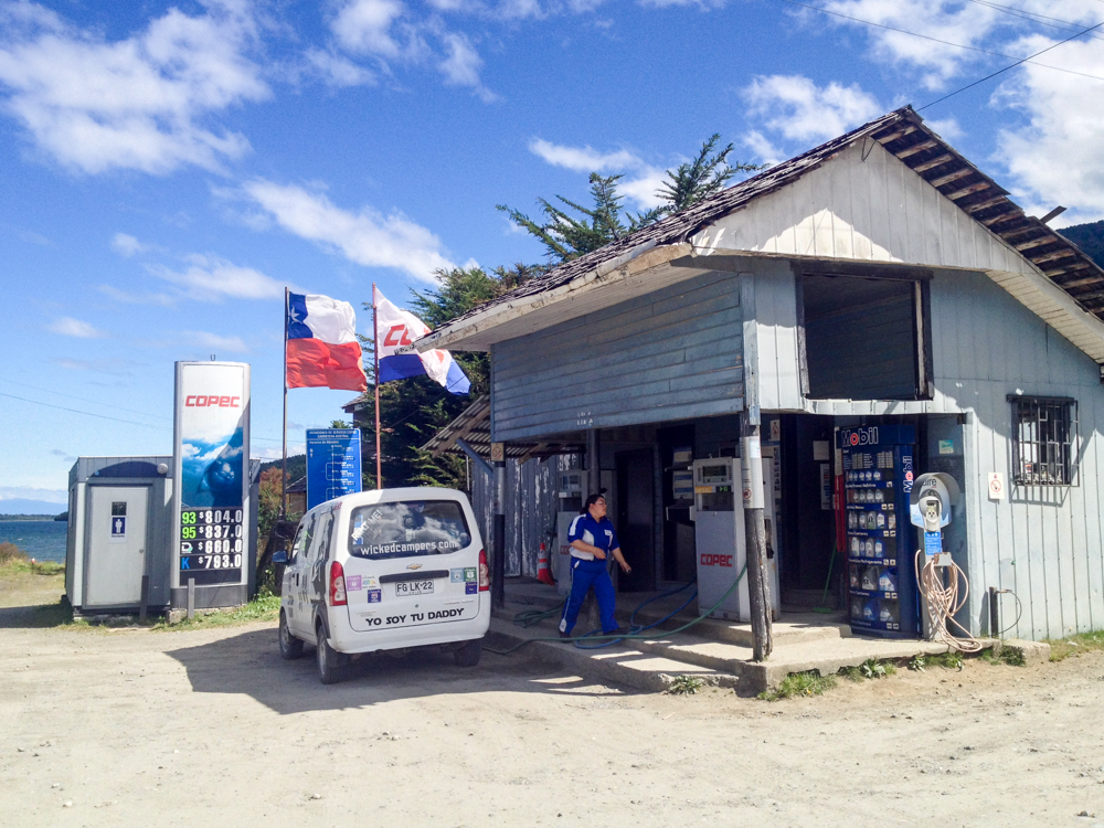
I highly recommend that you use COPECs annually updated Chiletur COPEC Zona Sur. COPEC is a Chilean energy company and amongst other things, they release road guides with updated maps and information about each region. COPEC’s Southern region guide has updated maps with exact areas where you will encounter dirt roads vs paved roads, nearby attractions and more. The guide costs CLP 5,000 which is about USD 7.50 and you can buy it at any COPEC Petrol station. The guide also lists every COPEC you can find while driving in the South and although this sounds like a tiny detail, gas stations are few and far between in this part of the world and it helps to tank up at every opportunity you might have. Although the guide is in Spanish, the maps are extremely useful and just these make the price worth it. You don’t want to be down south with spotty internet access and no map on hand.
Clothes
Large sections of the Carretera Austral are often closed during the winter. So you’ll probably drive this route during summer. At this time of the year, you can expect temperatures ranging from 20°C to about 2-3°C at night or during inclement weather. Bring layers. The temperature can vary wildly with altitude, topography, and the general mood of the Gods.
You’ll also be driving under parts that fall under the Ozone hole, so wear sunscreen and polarized glasses to protect yourself from harmful UV radiation.
A big part of this adventure is hiking in the wilderness. Depending on what you choose to do, bring the right shoes, poles, gear, etc. as buying anything in this region is expensive, that is, if the item you want is even available in the first place. Most of the towns in this area are small hamlets of 200-500 people.
The Journey
We covered over 5500 Kms along our journey. Considering that we left out the last section of the Carretera Austral, you can do more! We had rented our car for a total of 48 days. However, as we didn’t have a fixed itinerary and also decided to take some additional side trips, we ended up with fewer days down south than anticipated. Due to this, we missed out on Caleta Tortel and the Villa O Higgins glacier. However, the truth is that by the time you reach the southern reaches of Patagonia, you will have had your fill of forgotten towns, unending forests and enormous glaciers. There is so much beauty in this part of the world that eventually it all starts looking very regular to you. Initially we reacted with “Wow! Look! What a beautiful waterfall!”. Eventually it was more like “Oh, here’s another waterfall…”. It’s only now that we look back and wonder in awe at all the amazing things we saw and did back then.
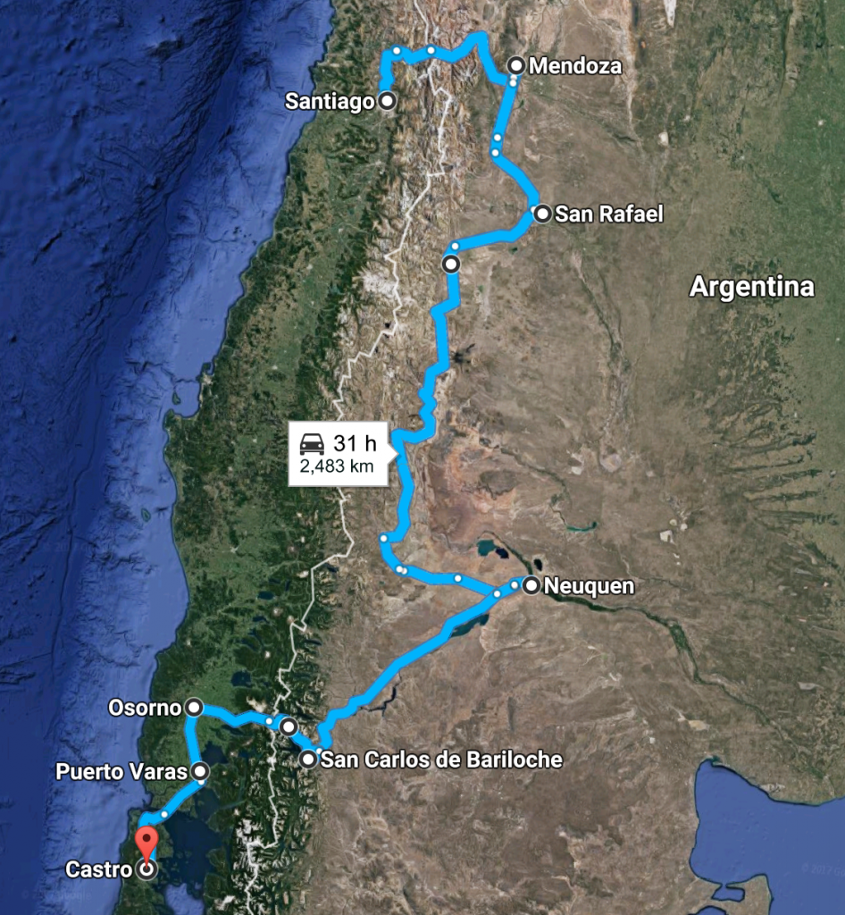
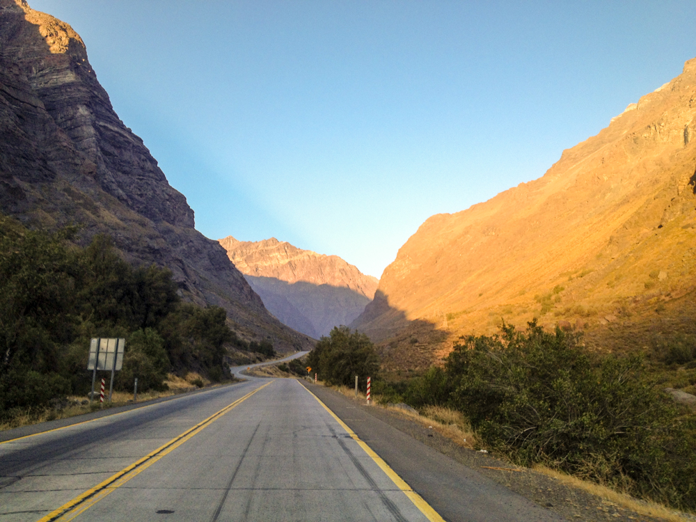
The first section of our trip took us from Santiago to Mendoza in Argentina. The crossing from Chile to Argentina is full of dramatic views and you will climb the Andes through dozens of hairpin turns. The crossing is made at an extremely high altitude and on a clear day you can see the top of the highest mountain outside Asia – Aconcagua. Once you pass immigration and customs you will start descending towards Mendoza.
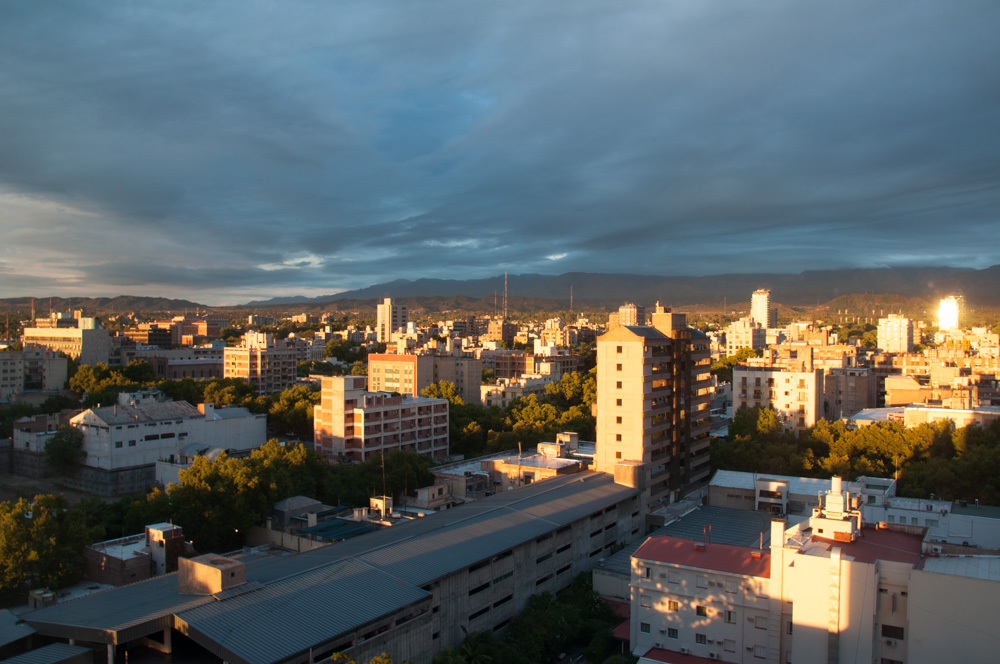
Mendoza is a famous wine region of Argentina. The grapes in Mendoza are grown on the slopes of the Andes and this lends an incredible quality to the wines made here. Malbecs from Mendoza are really good and definitely my favorite type of red wine. As Argentina has a huge amount of Italian influence, good coffee is everywhere (Hallelujah!). We also gorged on Italian food as much as we could and enjoyed a few Argentinian delicacies. Something strange we noticed was that in Argentina it doesn’t matter what you’re eating, you’ll always have a steak knife as part of your table cutlery. It’s an interesting touch for sure. You never know in Argentina when you might have an emergency and need to cut some delicious steak. Better be prepared for that situation! Another oddity that we noticed was that you can order pasta in Argentina without the sauce. So you could potentially just have boiled spaghetti with no sauce. The pricing structure on the menus lets you choose your pasta and then choose your sauce. Sometimes we saw people eating spaghetti without any sauce.
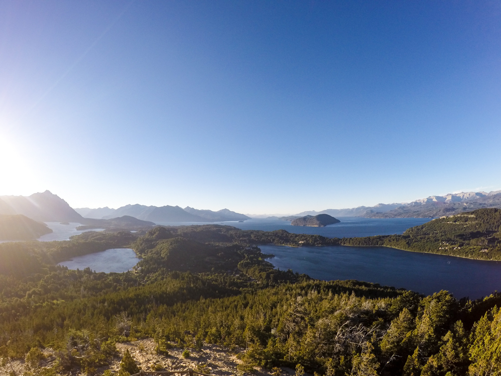
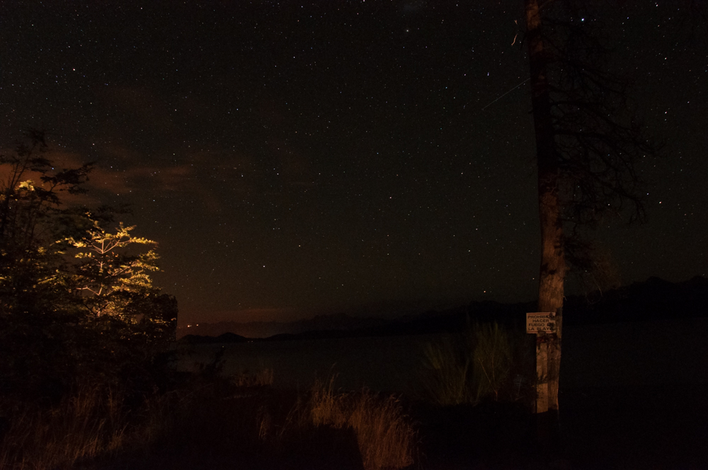
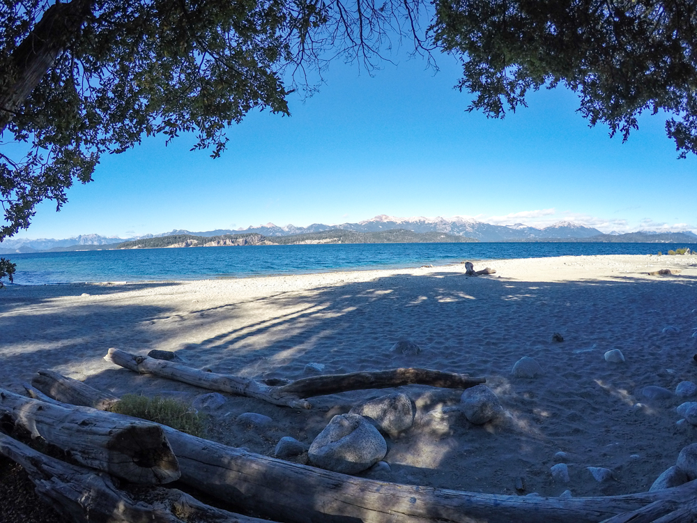
After Mendoza, we made our way down south. This section of our trip was spent in Argentina on Route 40, making our way through the Mendoza and Neuquen province. We got to try some Patagonian wine in Neuquen. From there, we headed down to Bariloche, the Switzerland of South America. Unfortunately, we reached Bariloche without a prior hotel reservation on Valentine’s Day. We weren’t aware that this was the southern capital of love. With great difficulty we managed to find a hotel room for a single night and then another one for the next two nights (we had to move places). We camped a couple of nights next to the beautiful Nahuel Huapi lake and took in some incredible morning views. It was now time to make our way back to Chile and drive south to finally enter the Carretera Austral.
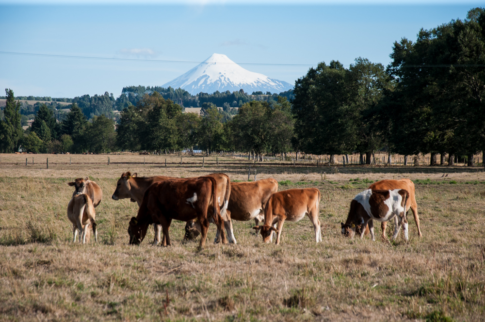
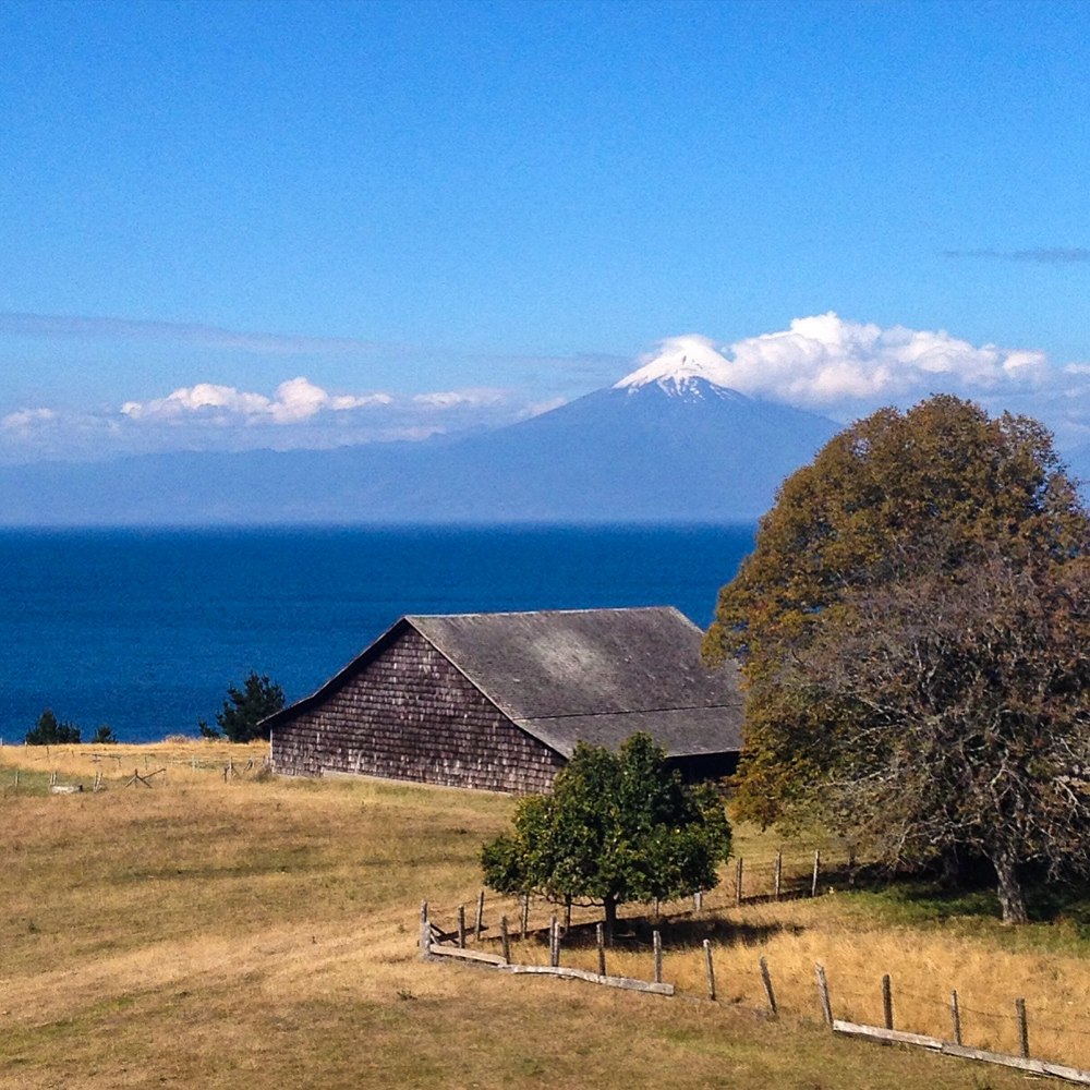
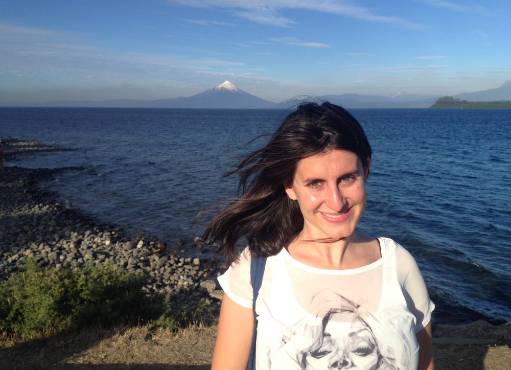
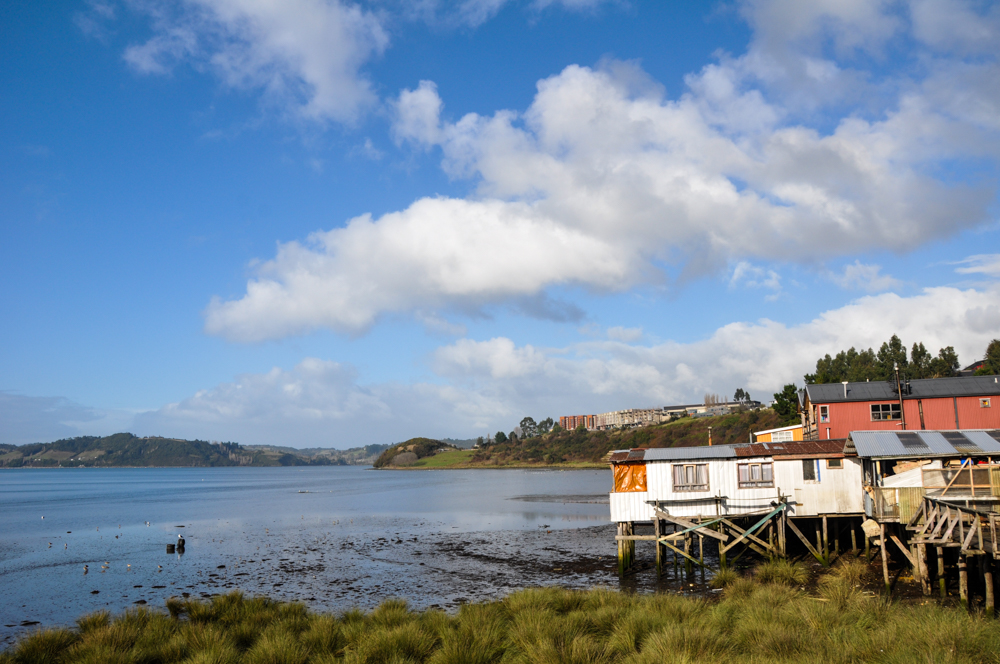
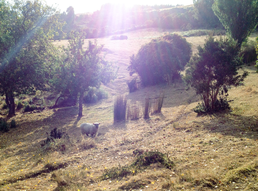
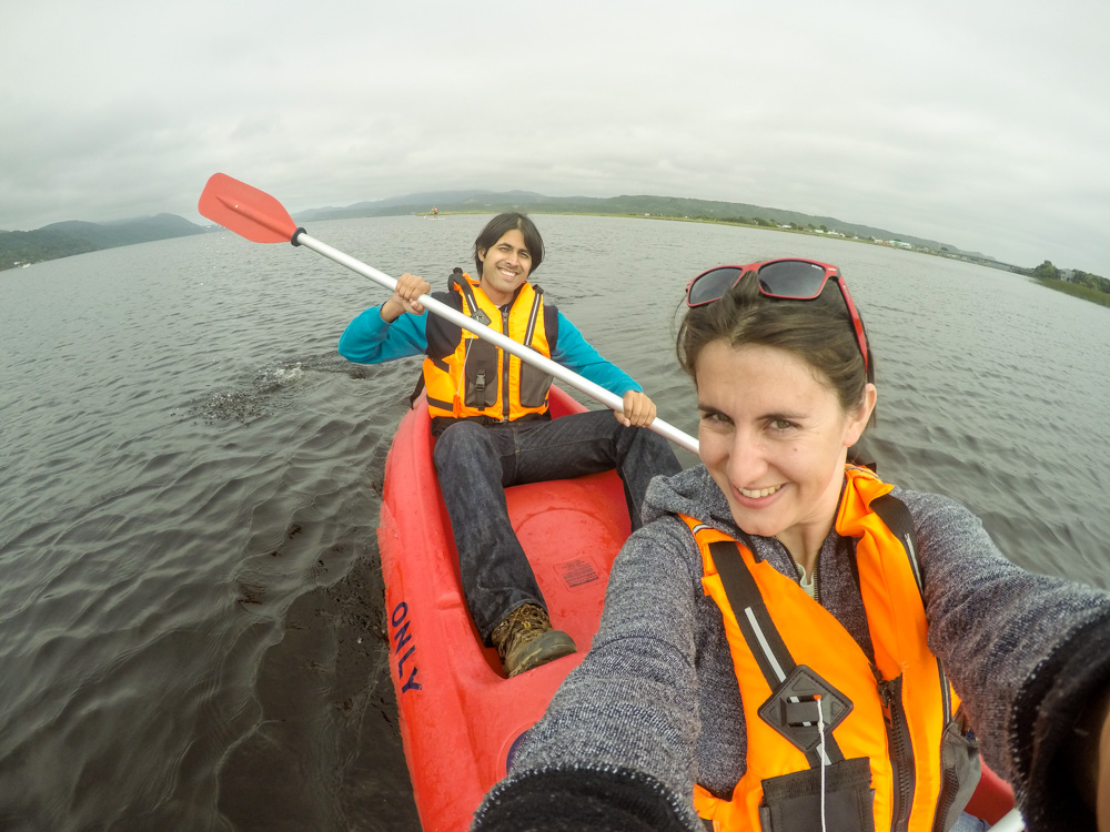
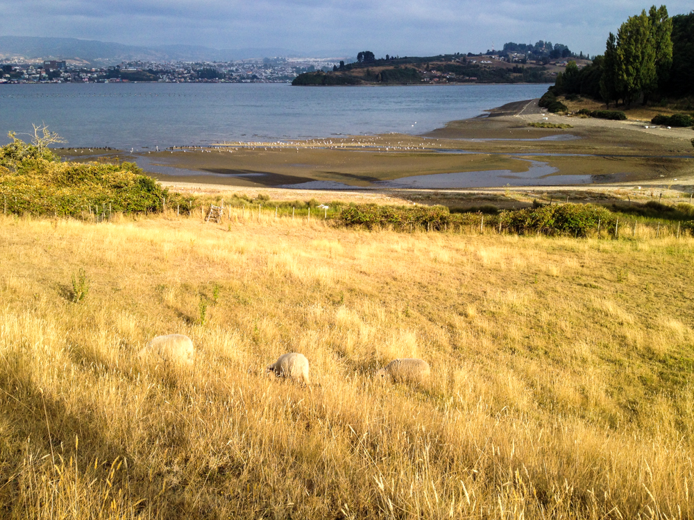
We made the crossing back into Chile at Osorno. This was an incredibly beautiful drive flanked by massive volcanoes on one side of the road and the enormous lakes of the Lagos region on the other. After spending a night in Osorno we made our way further south to Puerto Varas. This lakeside town is fairly touristic. However, the Llanquehue lake backed by the Osorno volcano makes this town really picturesque. After exploring Frutillar and some other lakeside towns in the region we made our way further south to Castro on the island of Chiloe. Since it was our wedding anniversary it was time to book a nice hotel and take it easy for a couple of days. We stayed in relative luxury at the Hotel Centro de Ocio. It was a relaxing two day stay where we went down to pluck wild blackberries from the waterfront and played with the sheep who would come and graze on the hotel slopes. In some mean spirited humor we named them Iskander and Durum (Turkish kebab names). They were really cute though and we meant those names with a lot of love. Unfortunately a huge summer forest fire was raging all over the region and there was quite a lot of smoke in the air during those days. One day, we went kayaking in the lake in Cucao. It was a great experience and because we got wet, on the way back we decided to unload our camping chairs and have a little bit of hot assam tea by the lake side. It’s nice to enjoy the simple pleasures of life!
After this sojourn on Chiloe we finally moved on to the Northern section of the Carretera Austral. There is no road connection between this part of Chile and the part where the Carretera Austral starts. So, we loaded our car up into a big ship and sailed south for six hours to the port of Chaiten. Now we were finally on the Carretera Austral.
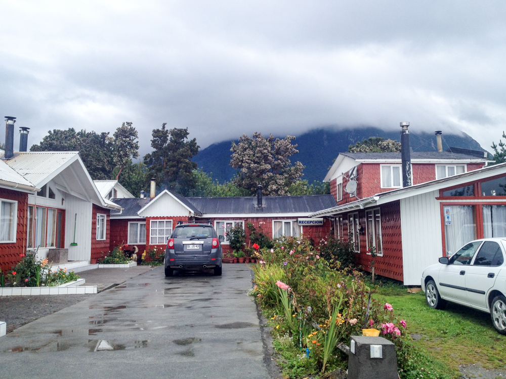
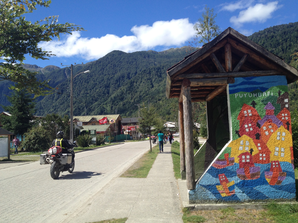
Chaiten is a small town at the northern end of the Carretera Austral. The town was decimated in 2008 when the volcano with the same name erupted for the first time in 9000 years. However, today the town is back on its feet for the most part. Although it is no longer the provincial capital, there are some basic services available. Lodging and restaurants have bounced back and there are some amenities that will make your stay comfortable.
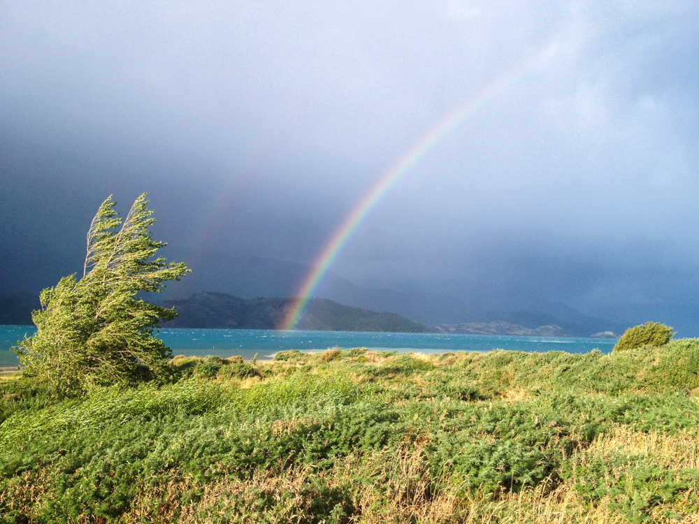
On a sunny day, we drove North from Chaiten to Parque Pumalin, the largest private park in Chile. Now there’s something in Patagonia that is worth noting with caution. A sunny day has no meaning in this part of the world. Likewise, a stormy day has equally minimal meaning. The weather changes fast, and often. We saw this happen time and again during our trip. For this reason they often use the phrase “4 seasons in a single day” in Patagonia. As we drove to Parque Pumalin, the weather changed from sunny to stormy and back again. The road had some paved portions and some portions that are still without asphalt.
Douglas Tompkins, the founder of Esprit and The North Face was an American billionaire and conservationist. He traveled to Patagonia with his buddies in the 60s in search of adventure. What he saw there changed the course of his life and part of this region forever. Large swathes of land had been repurposed for cattle grazing, virgin forests had been cut down, and vast habitats destroyed. He launched a conservation effort that has been the focus of much criticism since then. Douglas and his wife, through their conservation trust bought up millions of acres of land in Patagonia. His idea was to eventually create privately owned national parks that would return the land to nature and prevent unsustainable land use. Of course, a wealthy American buying large parts of Patagonia caused a lot of conspiracy theories to come about. The biggest one was that he was planning to monopolise the incredible water reserves in Patagonia and sell them to Nestle or a similarly evil corporation for commercial use. After Parque Pumalin was started the theories died down a bit. Douglas made good on his promise and a large amount of land was now open to the public as Parque Pumalin. Unfortunately, shortly after our visit Douglas died while kayaking in the General Carrera Lake further south. However, his work still continues through his family and trust and interesting times lie ahead for this effort.
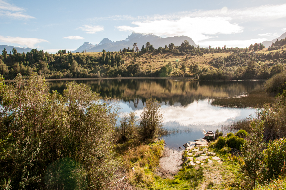
After Chaiten, we made our way further south to La Junta. Thankfully, a lot of the road on this stretch was paved and we could go fairly fast. La Junta is a small ranching town mid way between Chaiten and Coyhaique, the largest city in this region. We spent a night in La Junta next to a beautiful lake and had the most privileged view we could’ve asked for.
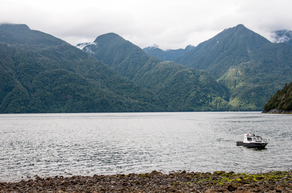
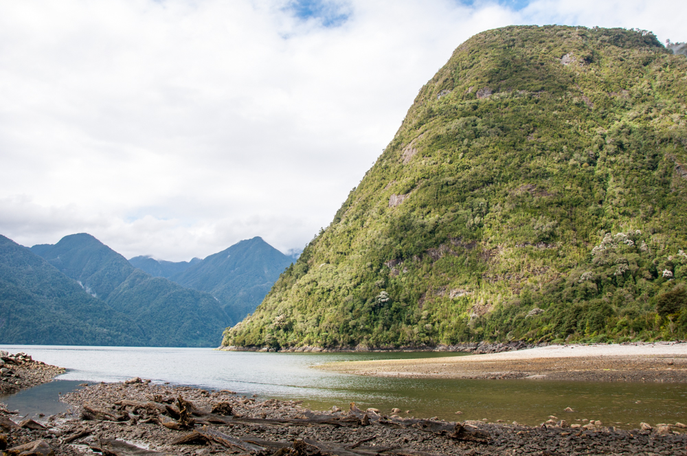
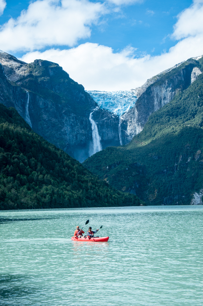
The drive down from La Junta to Coyhaique is fairly long because there are many sections of the road that are without asphalt. This was by far one of the most beautiful sections of the Carretera Austral. We passed by quaint towns on the banks of enormous fjords, we saw a hanging glacier (the Ventisquero Colgante) and drove through winding mountain roads amongst jagged stratospheric peaks.
Coyhaique is the largest city in this region. It has its own airport with scheduled flights from Santiago. If you want to do a trip along the Carretera Austral, Coyhaique is a good starting point. You could fly from Santiago to Coyhaique and then rent a 4×4 in Coyhaique. From here, you can do the northern portion of the Carretera Austral, return to Coyhaique, and then do the southern portion. You would also save on the ridiculous one way rental fees that I’ve mentioned earlier.
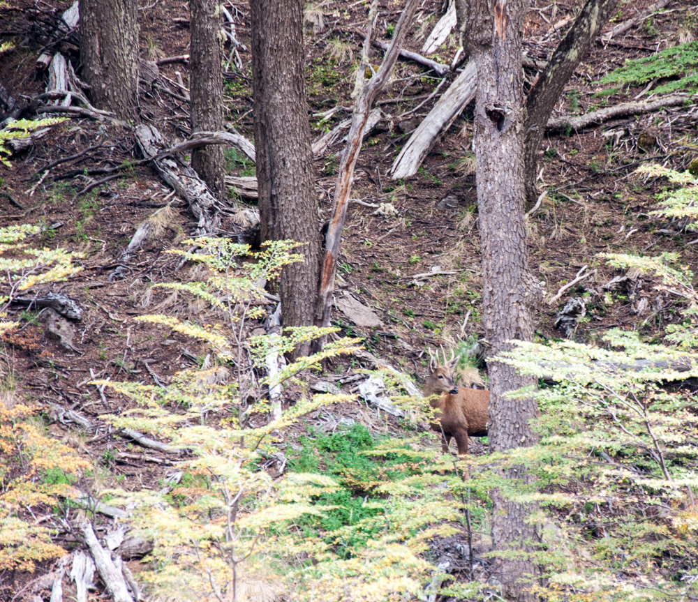
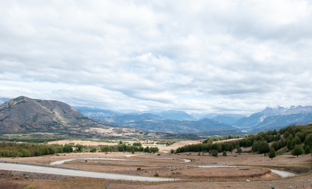
We spent a few nights in Coyhaique and then drove south to Puerto Rio Tranquilo. On the way we passed the Parque Nacional Cerro Castillo. The landscape here changes quite a lot. All this while, we were driving along mountains and rivers. However, it was in this section that we were greeted by wide expanses backed by sharp peaks. Inside the Cerro Castillo national park we finally managed to see a Huemul. This South Andean deer is endangered and apart from having low numbers is a very shy animal. However, driving along a river we saw it drinking from the water and managed to take a photo of this beautiful but elusive creature!
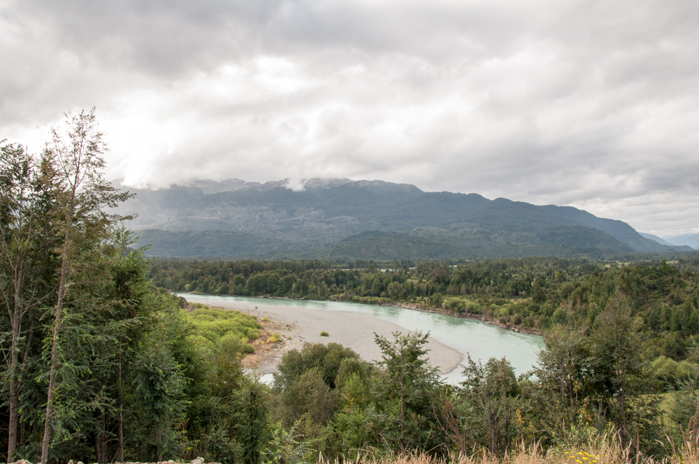
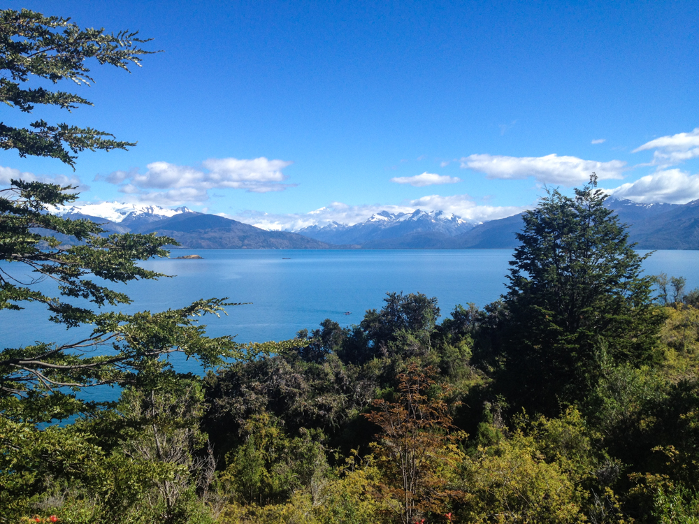
Further down the road we got hungry and stopped at a picturesque rest stop for some lunch. Finally, we arrived in Puerto Tranquilo during the later hours of the day. Puerto Tranquilo is a small town on the banks of the enormous General Carrera Lake which is shared between Chile and Argentina. The lake is filled with glacial flour and thus has an incredible turquoise color. It’s known as Lago Buenos Aires in Argentina.
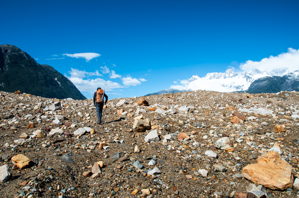
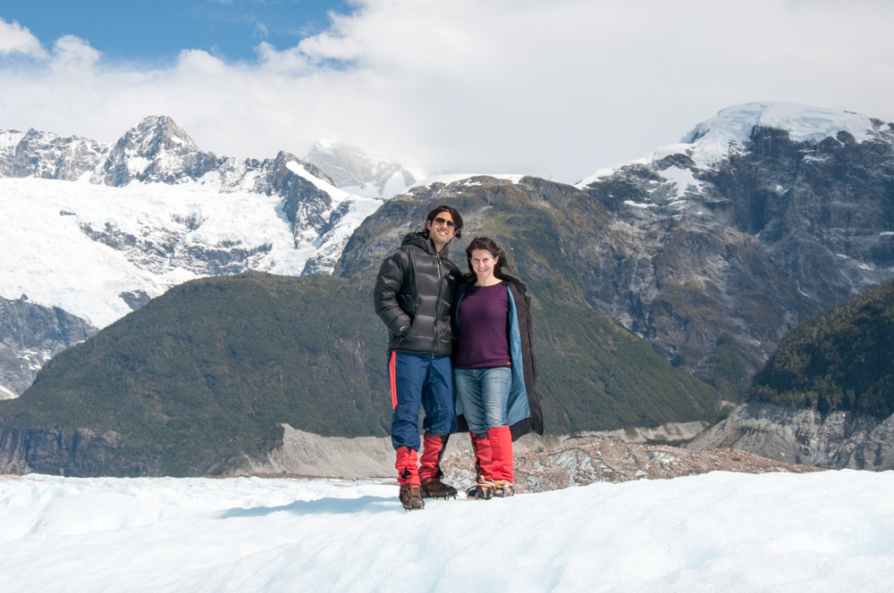
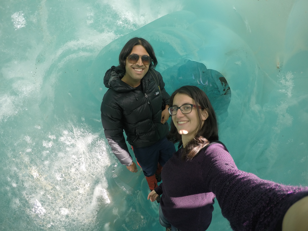
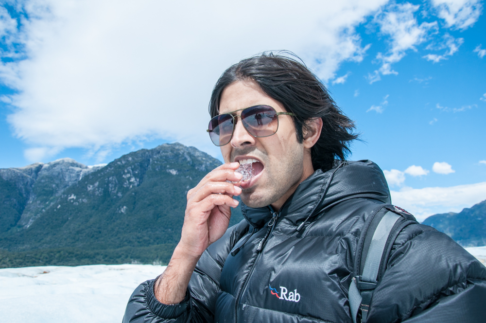
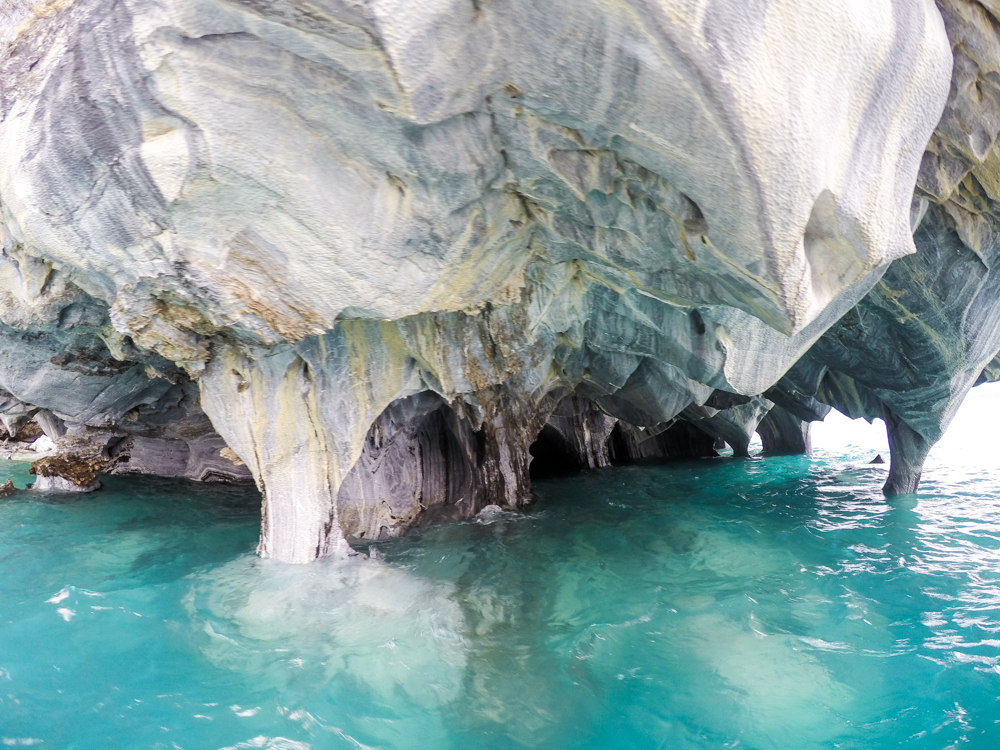
As Puerto Tranquilo is close to Chile’s massive northern ice field we decided to go see it for ourselves. So we signed up for a glacier walking tour. This took us into the Laguna San Rafael park and onto Glacier Exploradores. We had to wear crampons to walk on the ice but it was a crisp summer day and walking around on glacial ice is somewhat of a different experience! We also took a boat trip into the General Carrera Lake to see the marble caves (Cavernas de Marmol) which are inside the lake.
Once we reached this point in our journey we realised that we had very few days left to do the rest of the trip. This is why we made the difficult choice of skipping the remaining 347km of the Carretera Austral. If you continue down this road it will take you to Caleta Tortel and eventually to Villa O Higgins. At this point you will have to turn back because there is no way to cross with a car from here into Argentina. The massive southern ice field will block you from passing through further south. The only way is to come back almost all the way to Puerto Tranquilo and then go to Chile Chico and make your way into Argentina.
We didn’t have the time to do the 700km round trip on mostly unpaved road so from here, we made our way to Chile Chico and into Argentina.
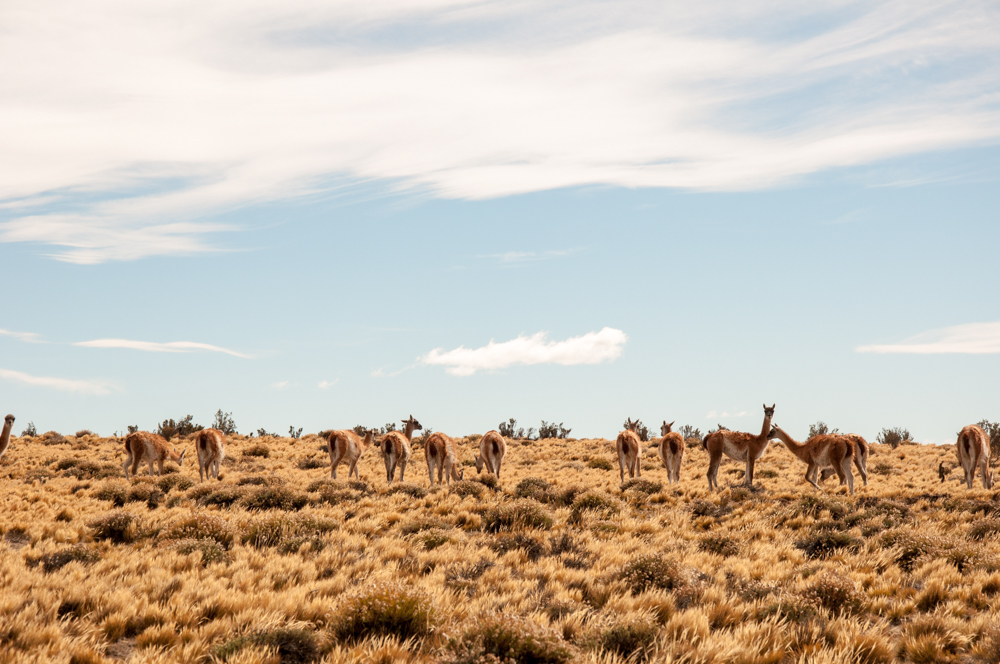
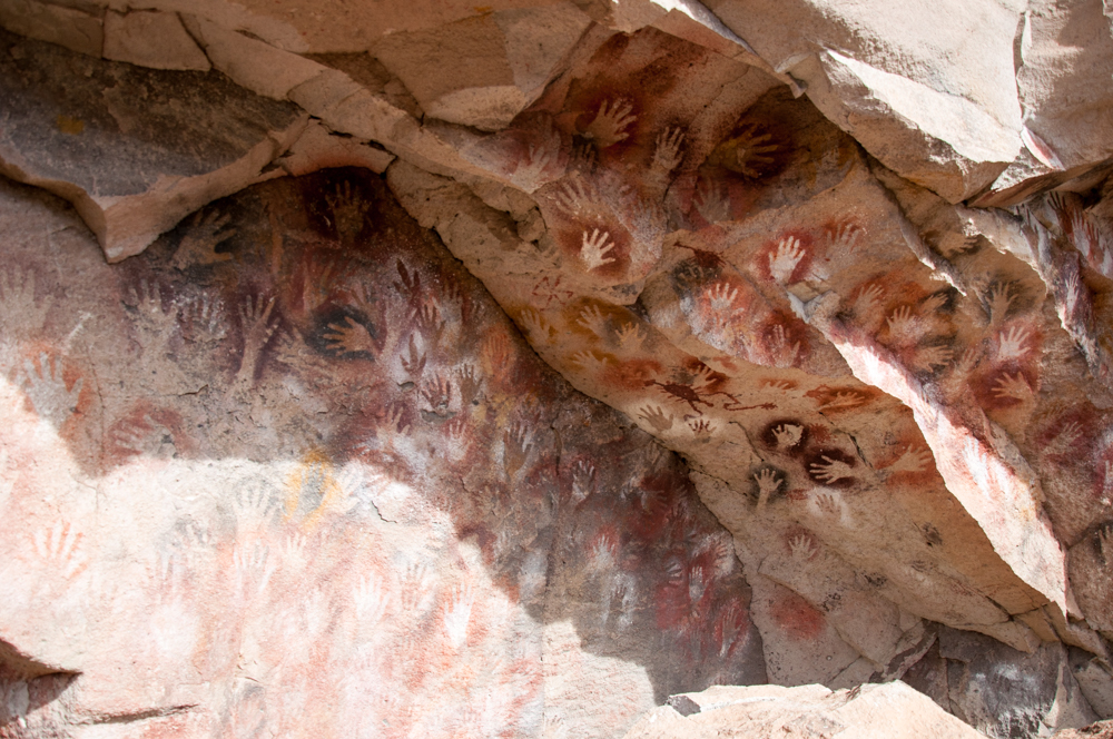
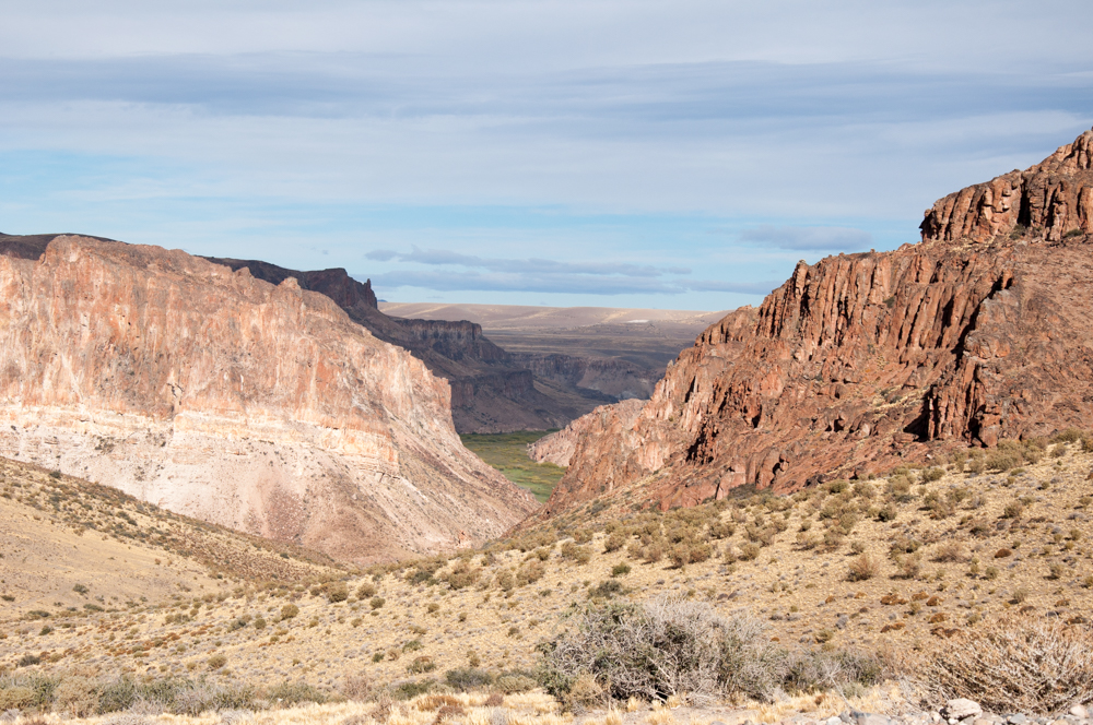
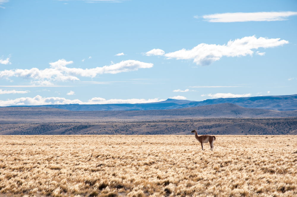
The drive from Puerto Tranquilo to Chile Chico is mostly unpaved. The road winds along and circumnavigates the General Carrera lake. You get to take in incredible views of the lake and surrounding mountains while navigating the precarious cliffside road. We reached Chile Chico and stopped for lunch. Then, drove along what was now called Lago Buenos Aires to reach the town of Perito Moreno. This town has nothing to do with the Perito Moreno glacier. It’s just called Perito Moreno and is a small town in the Santa Cruz province of Argentina. After resting for a couple of nights there we then started down south towards El Calafate. On the way, we stopped at the Cueva de Los Manos – the cave of the hands. While driving south, we took a slight detour off the highway to reach a canyon and then the cave of the hands. Along the way we passed stark dry landscapes dotted with playful (but shy) Guanacos.
The cave of the hands is famous because it features one of the most ancient pieces of art known to man. The caves show paintings of the hands of people who lived in these valleys between 9,000 and 13,000 years ago. Let that thought sink in. So much for Columbus “discovering” the Americas.
After realising how there is very little that survives the passage of time, we decided to continue south. As the road to Calafate is extremely long we took a night halt at Gobernador Gregores, a windy town with a strange name.
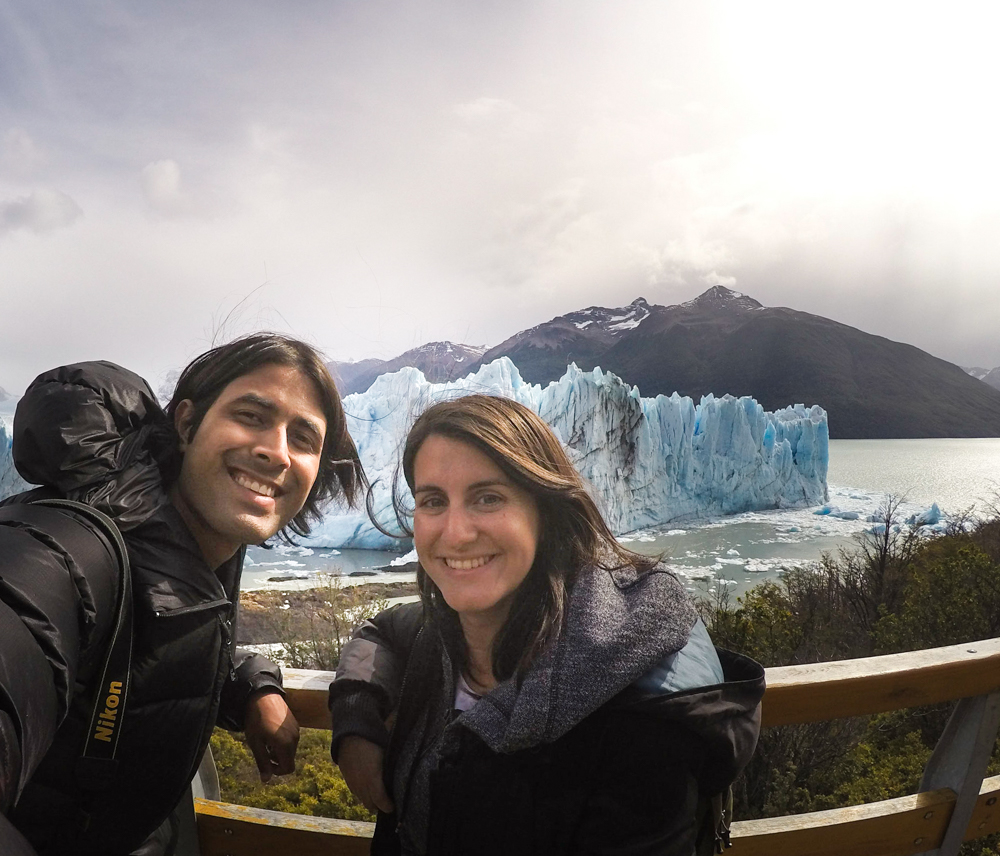
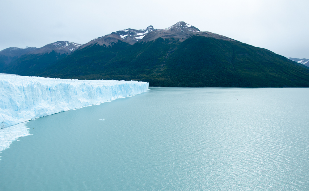
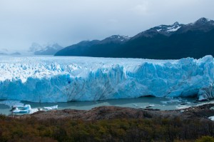
In the morning, we continued down to El Calafate and arrived towards the afternoon. This was our final stop in Argentina and we took some time to rest and the next day headed to Los Glaciares National Park to see the gigantic Perito Moreno Glacier. And gigantic it was!
The glacier is at the border of Chile and Argentina and in that classic way that nature does not respect political boundaries, it extends into Chilean territory.
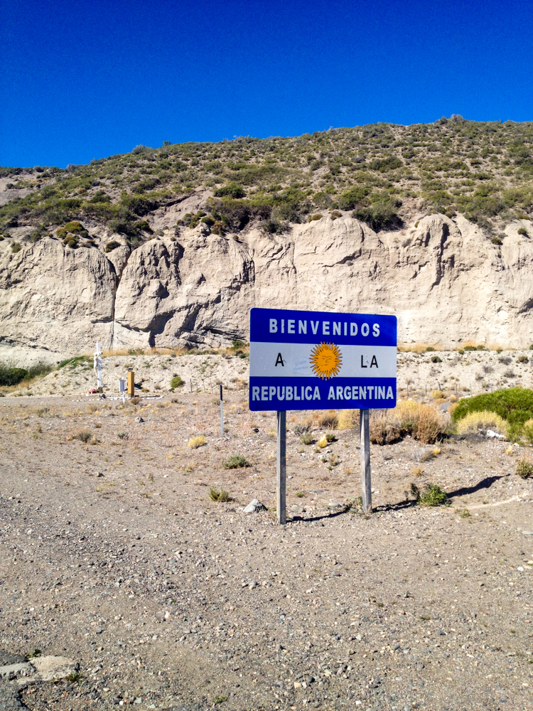
After enjoying our last few nights in Argentina and a run around the windy streets of southern Patagonia we decided that it was time to head back to Chile. While crossing the Andes back into Chile we ended up getting some snowfall at the high pass. However, immigration was a quick process and we descended quickly back to warmer climes.
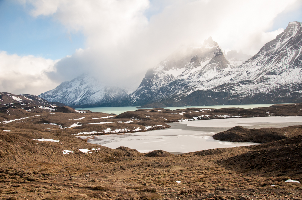
Puerto Natales is the jumping off point to the famous Torres del Paine national park in Chile. We had already explored Torres del Paine two years ago and so we didn’t visit the park again. Instead, we spent our time in Puerto Natales revisiting cafes and restaurants that we had hung out in back in the day when we were naive travelers fresh off the regular.
Finally, we reached the last day of our trip. So we drove our car from Puerto Natales to Punta Arenas where we were to return this wretched vehicle. By this time I had grown quite fond of it and we had a sort of love-hate relationship with this aptly named “Wicked” camper van.
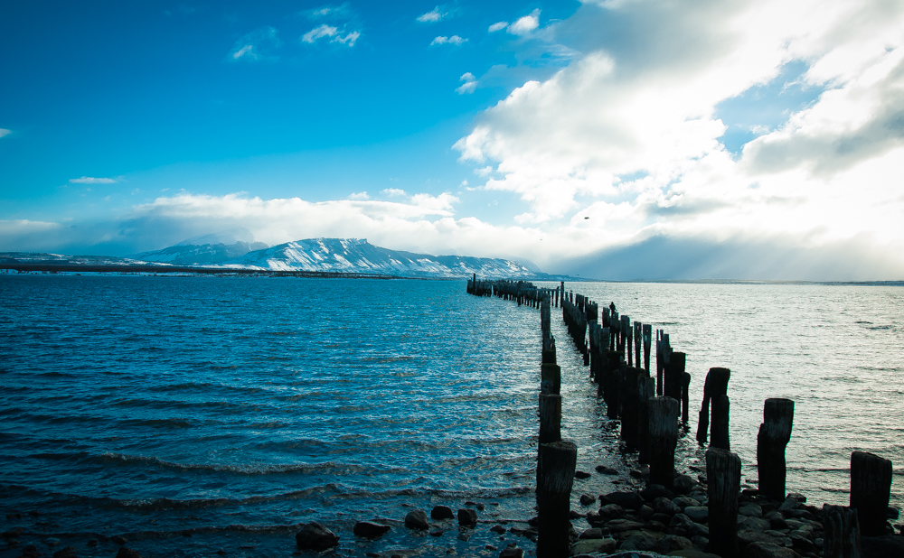
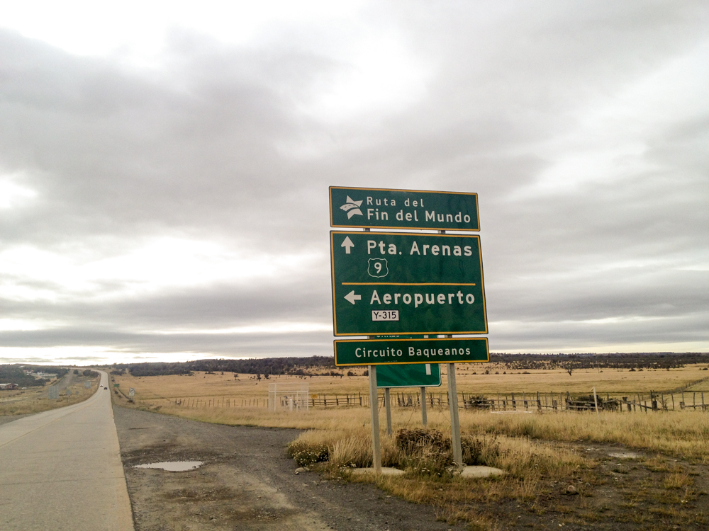
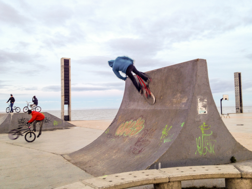
We drove down the last stretch of the southern highway and ended up at Punta Arenas. Now, Punta Arenas is different from other parts in Chilean Patagonia. Rich with money from the oil and natural gas industry, the city has some fairly modern infrastructure. You can see the island of Tierra del Fuego from the waterfront in Punta Arenas. At this point we were in one of the southernmost cities in the world. Yet, life felt fairly normal. There were children skateboarding and playing basketball. There were burgers and sushi available and if you fancied it, even a French restaurant.
It felt like there’s the central valley in Chile, then there’s Patagonia, and then there’s Puerto Natales and Punta Arenas (which are still part of Patagonia). It felt like the regions in between were the long forgotten isolated parts and the ends were quite developed.
In the end, we had driven for over 5500kms and seen life change from the prosperity of Santiago to the prosperity of Punta Arenas. But it was what lay between those cities that was truly precious and worth exploring. The Carretera Austral and Ruta 40 are drives that we will never forget. Although the mention of Patagonia normally reminds people of Argentina, it is in Chile that the true beauty of Patagonia can be experienced. The Andes by their mighty nature block all the moisture from the Pacific on the Chilean side and this is where you will find forests, glaciers, and waterfalls in abundance like nowhere else on earth. The Argentinian side is beautiful in its own way with hundreds of miles of nothingness but Guanacos and the setting sun.
Looking back, I wouldn’t do it again in just 48 days. The vast expanse and diversity of this region requires a lot more time to absorb. However, I think we got a pretty good idea of what it means to live in this far off region of the world. The trials of life are different when you are so isolated from civilisation and somehow it felt incredibly safe to return to the madness of Santiago.
Some Notes:
- The weather changes fast, bring layers.
- The roads are better on the Argentinian side. This is mostly because the terrain on the Argentinian side is easy and flat. The roads on the Chilean side alternate between paved and unpaved but are mostly unpaved in the Carretera Austral (Highway 7).
- The internet is better on the Chilean side. Mobile internet was fast and reliable in Chile. On the Argentinian side we had trouble on most days even with regular wifi.
- Much more stunning nature on the Chilean side. Both sides offer different experiences but as there is an enormous geological divide (the Andes mountain range) the landscapes are extremely different. Patagonia in Argentina is dry and almost desert bush landscape whereas Chile will offer you waterfalls, green mountains, glaciers, and fjords.
- Gas stations are much more present on the Chilean side. If you are in Argentina, tank up whenever you have the opportunity!
- ATMs are almost impossible to find in Argentinian Patagonia. This is improving but make sure you carry sufficient cash for a night or two at least.
- Crime is not an issue in any of these parts. These regions are as safe as it gets in the world.
- Heating is better on the Argentinian side. Argentina has an abundance of natural gas and they use it. In Chilean Patagonia (except Puerto Natales and Punta Arenas) you will mostly find wood based heating solutions in most houses.
- There is almost zero public transport. Hiking and cycling these routes is an option but you need to be fit and ready.
- Vegetarian food is incredibly hard to find, especially on the Chilean side. Argentina has Italian food available in abundance everywhere so eating vegetarian is fairly easy. Vegan food will be even more challenging. We did not practice any dietary restrictions during this trip.
- Those who require visas for Chile or Argentina will need multiple entry visas as this itinerary covers multiple exits and entries into both countries. Those who do not require visas for trips to Chile or Argentina need not worry.
- Chilean Patagonia is far more isolated than Argentina. This is due to the terrain on the Chilean side. However, the Chilean government is quite organised and capable so you can expect emergency, rescue services, etc. to work fairly well.
- There are many more privately run small lodging options (cabanas) in Chile as opposed to in Argentina. This is because there are many more small towns with small businesses on the Chilean side. As the road is better on the Argentinian side, you can go from one city to another far off city, whereas on the Chilean side you will need to stop at one town or another along the way at night.
- Food and lodging are more expensive than other parts of Chile or Argentina. Expect to pay at least $35 per night for a basic room in most parts.
- We listened to a lot of the Into the Wild soundtrack along the way. It went perfectly with this trip.
- Watch the movie 180 Degrees South if you want to see more of Chilean Patagonia.
- Fly into Coyhaique and do a northern and southern loop of the Carretera Austral if you want to explore this region faster and avoid one way rental issues. Then, you can fly to Punta Arenas and explore Torres Del Paine and even take a day or overnight trip to El Calafate. Another option is to start at Puerto Montt, take a ferry to Chaiten and do a return loop over the Carretera Austral.

This is incredible, guys. Northern Patagonia, in both Argentina and Chile, were the highlights of our world trip, and we look forward to returning and exploring more. The Carretera Austral/Ruta 40 roadtrip would be a spectacular way to do it. Thanks for sharing all the photos and info. …and making my feet even itchier.
AMAZING! What a journey! I’m feeling so inspired reading this, and looking at those pictures! I really must got to South America – and especially down south – soon!
Such a cool presentation
Such an amazing post…Beautifull
Great post, Ashray – and so glad I came across it. I’m in the process of planning a road trip very similar to yours (Santiago to Punta Arenas) starting mid-November and had looked at Wicked as an option. You’ve given me plenty of food for thought – especially the point about having to book accommodation on top as I’d factored in plenty of nights sleeping in the wilderness. Sounds like 4×4 is the way to go, too. Any thoughts on places to avoid?
Sounds like a great trip coming up Ian! There’s nothing that I’d say you particularly need to avoid. Of course, please make sure you follow signs like “No Kayaking” etc. since usually those are put up for safety reasons. Other than that, have a great time and I’m sure you’ll make some amazing memories!
Hey guys, that was a great article and seemed do be a stunning journey.
I recently booked our flight to Chile in Dec, 2018, so I really appreciated your recommendations regarding a vehicle.
Do you know about other (more) reliable rental companies?
We’d like to go by a 4×4 either with a cabin on a Pickup or one with a roottop tent (we’re owning a fully rugged Jeep Wrangler and want to get something similar :)
Have great further trips and a good time, whereever you are, whereever you will be.
Cheers,
TiKay